An Urban Hiker's Guide to Berlin’s 100-Mile Wall Trail

An Urban Hiker's Guide to Berlin’s 100-Mile Wall Trail

Author
  • Karthika Gupta
Photographer
  • Karthika Gupta

Along the Berliner Mauerweg, a multi-use path tells the tale of conflict, progress, and shared humanity in one of the world's most iconic cities

Published: 08-20-2026

Berlin Wall Trail Quick Stats

Total distance: 100 miles
Estimated time needed: 5-6 days
Trailhead: Potsdamer Platz (the trail can be accessed in many places throughout Berlin)


When I booked my trip to Berlin earlier this summer, I imagined spending my days wandering through museums and admiring the city’s mix of Neoclassical landmarks and Bauhaus buildings. Maybe I'd hit a club to experience a bit of its famous techno scene and eat some currywurst. Instead, I found one of Europe's most fascinating long-distance walking routes hidden in plain sight along the Berliner Mauerweg, otherwise known as the Berlin Wall Trail.

Unlike the typical wilderness trails with mountain passes, alpine lakes, or backcountry campsites, the 100-mile Berliner Mauerweg follows the former path of the Berlin Wall, which divided East and West Berlin for nearly 28 years, from 1961 to 1989. It was once one of Europe’s most fortified borders with guard towers and a deadly no man's land. Today, the path it cut through the city is a continuous route for walkers, runners, and cyclists, linking neighborhoods, forests, and memorials to a turbulent past that affected the city and the world so deeply.

So rather than spend all my time indoors, I set out to explore several sections of the trail, curious to see how a route meant to divide had evolved into one of connection.
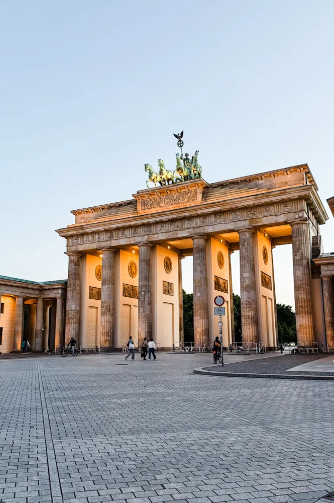
berlin-wall-trail-guide-brandenburg-gate-vert

The Brandenburg Gate in Central Berlin

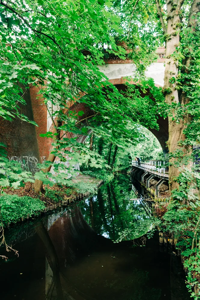
berlin-wall-trail-guide-pathside-canal-through-forest

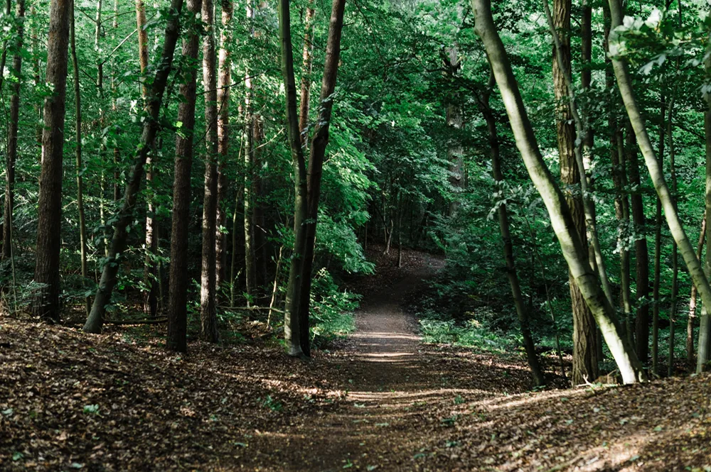
The trail goes through forested areas in Northern Berlin

History of the Berlin Wall Trail

“The Berlin Wall stood for nearly three decades, separating two competing ideologies,” says Michael Horstmann, a West Berliner and my tour guide on one Sunday afternoon. “When it fell in 1989, city officials decided against completely erasing its existence.” He recalls the eve of the wall’s collapse as vividly as he points out details about monuments along our route. “I was heading home from work in the West when I saw thousands gathered near the Brandenburg Gate chanting ‘Die Mauer muss weg’ (the wall must go). From the other side, we could hear equally loud shouting. Then overnight it was done, without any resistance or physical violence from the East.”

Today, informational markers and preserved fragments guide visitors like me through one of the world’s most unusual urban trails. The route forms a loop around different areas of Berlin, with Potsdamer Platz being a common starting point. “During the 1920s, it was Europe’s busiest square,” Horstmann says. “By the end of the Second World War, it was completely destroyed, and from 1961 to 1989, the wall split it in two.” A stretch of the original wall still stands in the center of the square, now an outdoor memorial with interpretative panels explaining the Cold War and key moments in the wall's history.

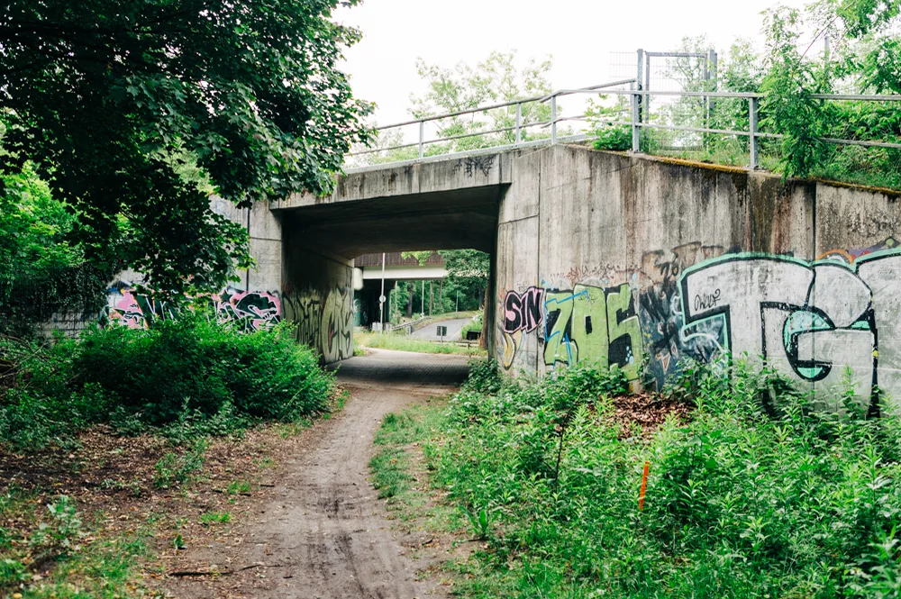
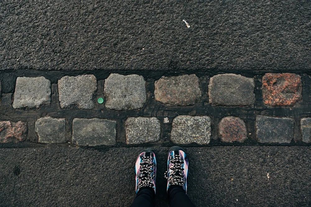
Walking through different sections of the trail, I was struck by how something once feared so deeply was reduced to a handful of concrete blocks. In some sections, plaques sit beside playgrounds and cute cottages. In other areas, it's completely obscured by graffiti or overgrown greenery. In the inner city, bikers and joggers pounded the pavement where a double line of bricks embedded in the sidewalk is the only thing left of that foreboding structure once guarded by armed sentry towers.

karthika-gupta-berlin-wall-trail-lawn

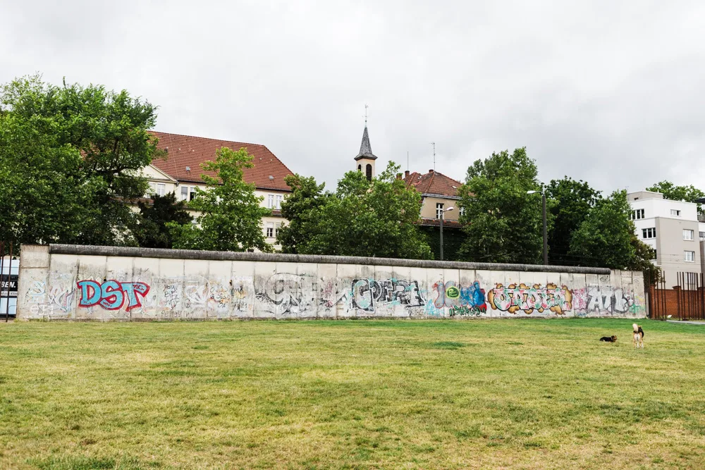
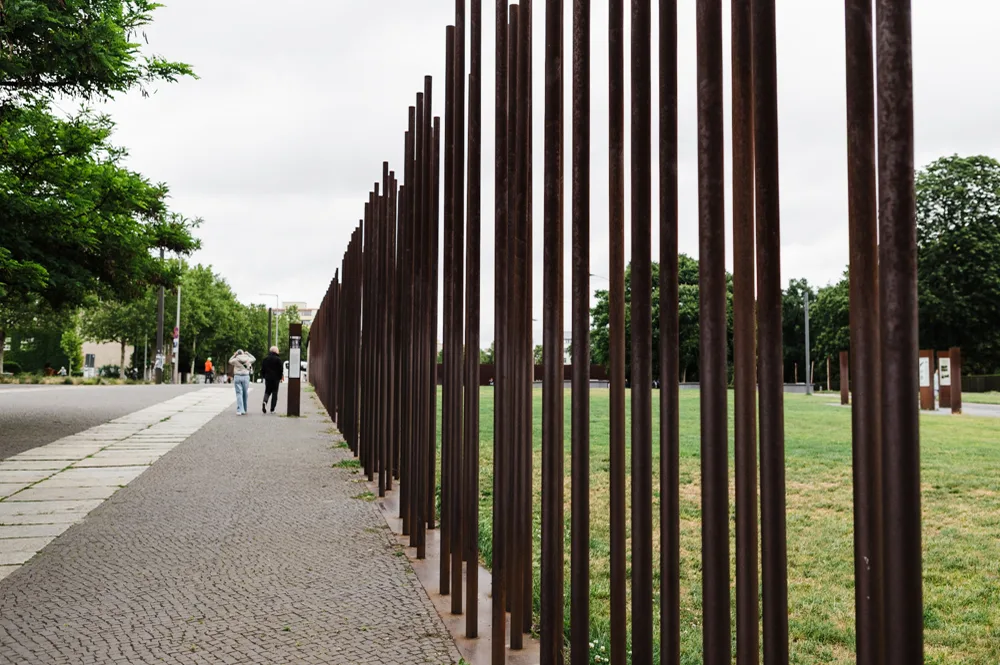
The Berlin Wall Memorial between the districts of Mitte and Wedding

More Than an Urban Hike

I've spent decades hiking mountain trails and backpacking through national parks, where the landscape tells the story. But walking along the Berlin Wall Trail felt inherently different. Here, the scenery is so fundamentally human—a woman pushed a stroller past a plaque marking an escape tunnel, while elsewhere two dogs chased each other where a guard tower used to be.

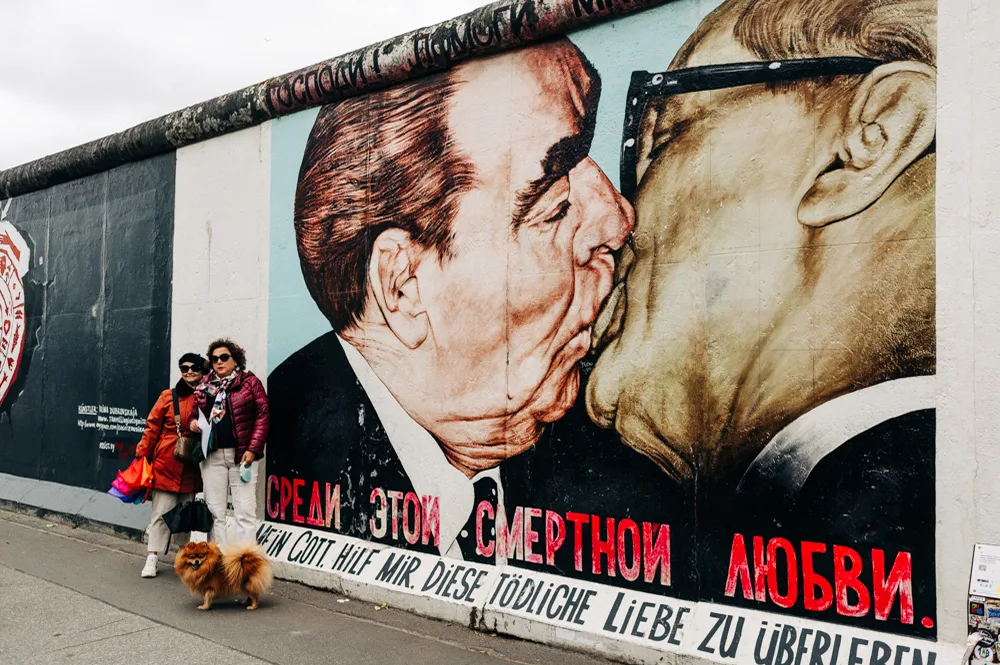
For me, the most memorable section of the trail was the East Side Gallery along the Spree River. Nearly a mile of wall has now become an open-air art museum where every panel is painted by artists from around the world. The iconic image of the ‘Brotherly Kiss’ between Soviet leader Leonid Brezhnev and East German head of state Erich Honecker had a crowd in front waiting to take selfies while nearby panels with equally powerful messages of unity were completely ignored.

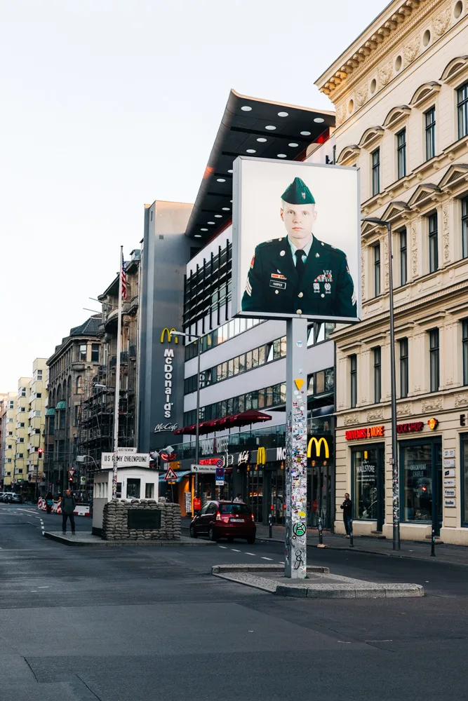
The trail also passes Checkpoint Charlie, the famous crossing between West Berlin and the German Democratic Republic (GDR) of the East. The signpost depicts an American soldier on one side and a Russian on the other, a visual representation of the two opposing parties.

berlin-wall-trail-guide-kissing-mural

"Fraternal Kiss" by Dmitri Vrubel

Further east, the mood shifts dramatically at the Berlin Wall Memorial on Bernauer Strasse. Preserved sections of the border and the reconstructed death strip give a sobering view of life before reunification. I lingered longer than I expected, standing in the middle of the path, reading stories of escape attempts and separated families that felt inherently personal.

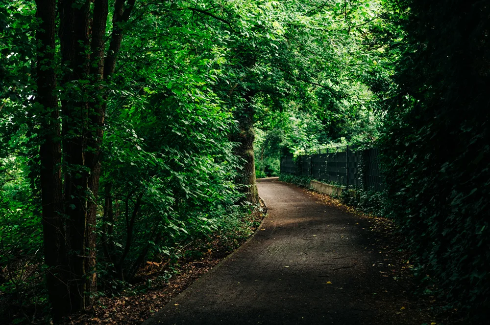
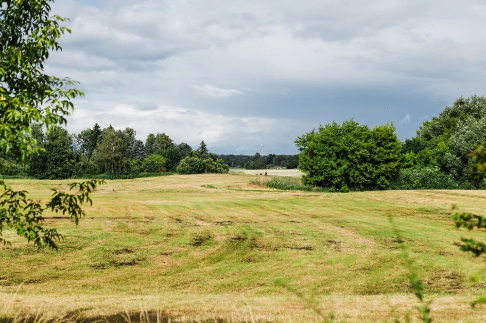
Most surprising was how quickly the route turned green once I left the city center. North of the city between Hohen Neuendorf and Hennigsdorf, the trail is covered in tree canopies and forests, and cuts through open stretches of prairie-like grasslands. Old patrol roads have been repurposed as cycling paths, and former strips of no man’s land now support native plants and returning wildlife like wild boar and red foxes.

karthika-gupta-berlin-wall-trail-checkpoint-charlie

Checkpoint Charlie

berlin-wall-trail-guide-tree-marker-vert

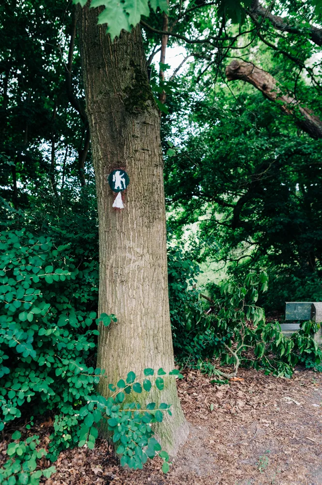
A trail marker

Trail Logistics

One of the best things about the Berlin Wall Trail is that you don't have to commit to hiking the full 100 miles at once. The trail is divided into 14 sections, and most stages are around 6 to 13 miles. This makes it easy to tackle the route in multiple day hikes rather than one continuous journey using Berlin's extensive public transportation network. The S-Bahn (suburban rail) and U-Bahn (subway) intersect the trail at dozens of points, while regional trains, trams, and buses provide access to more remote stretches.

I walked 18 miles of the trail on sections within the city and in Hennigsdorf, a former East German border town along the Havel River, and then took the nearest train back to Alexanderplatz in central Berlin for dinner and a night's stay at the Leonardo Hotel. A Berlin WelcomeCard, available through any visitBerlin Tourist Information desk, can be a handy purchase as it provides unlimited access to all public transportation along each of the 14 sections.

Tempting as it was, I opted out of camping along the trail because I was short on time. Wild camping is generally prohibited in Germany, but a network of campgrounds on the outskirts of Berlin makes it possible to tackle this 100-mile hike in true backpacking style. To make navigation easier, you can also download the free Berlin Wall Trail app, which provides detailed maps, historical context, and GPS-based information along the route.

berlin-wall-trail-guide-graffiti-underpass

Trail Experience

Die-hard hikers might not count this as a wilderness trail—there are no dramatic summits, elevation challenges, or backcountry views. But stumbling upon a memorial between apartment blocks along Bernauer Straße, seeing photos of a family reuniting after 30 years at the Wall Memorial, or sharing a path with local cyclists in Hennigsdorf brings a unique human element to the experience that speaks to the tenacity of an entire nation eager to confront its past and embrace change.

Horstmann underlines the point. “It isn't just about the wall itself but how communities healed after it fell and how spaces once designed to divide people evolved into places that bring them together in a tangible way.”

berlin-wall-trail-guide-forested-path

Pro Tips for Hiking the Berliner Mauerweg aka Berlin Wall Trail

The Berliner Mauerweg may be a long-distance trail, but it doesn’t require any wilderness planning. Instead, the best experience comes from knowing how to navigate the everyday details of walking through a city and its outskirts.

If you only have time to walk one section: Head to Section 4, Potsdamer Platz-Warschauer, to see iconic spots in the city; Section 11, Wannsee-Staaken, or Section 12, Staaken-Hennigsdorf for nature in Berlin's western outskirts; or the Tegeler Fließtal nature reserve along Section 1, which few travelers visit.

To see more of the trail in less time: Ride it on a bike. You can rent bikes from Donkey Republic, an app-based service with multiple pick-up points around the city, for a day pass of around €12 ($14). Urby Bike Berlin also offers daily bike rentals for both e-bikes and pedal bikes.

berlin-wall-trail-guide-wall-stones-in-pavement

Bring snacks: If walking the more rural sections, pack some snacks in your daypack since cafes and shops might be farther apart in these areas. In the city, Kerb, a beautiful open-air food hall near Potsdamer Platz, is a great place to fuel up before hitting the trail.

Gear up: You don’t need specialized hiking gear to tackle this trail. Choose comfortable walking shoes instead of heavy hiking boots since most of the trail is relatively flat. Bring a daypack for essentials like a water bottle, a light layer, and some snacks.

Bathroom access: Public washrooms are few and far between. Plan bathroom stops at U-Bahn or S-Bahn stations, where there are public bathrooms, or at cafes.

Refill: Water accessibility is also limited in sections away from the city center. Bring your reusable bottle and fill it up in local cafes or coffee shops.

berlin-wall-trail-guide-route-near-memorial

berlin-wall-trail-guide-multipurpose-path-through-trees

berlin-wall-trail-guide-fields

Next, check out our guide to Chicago's 200-mile OuterBelt trail.